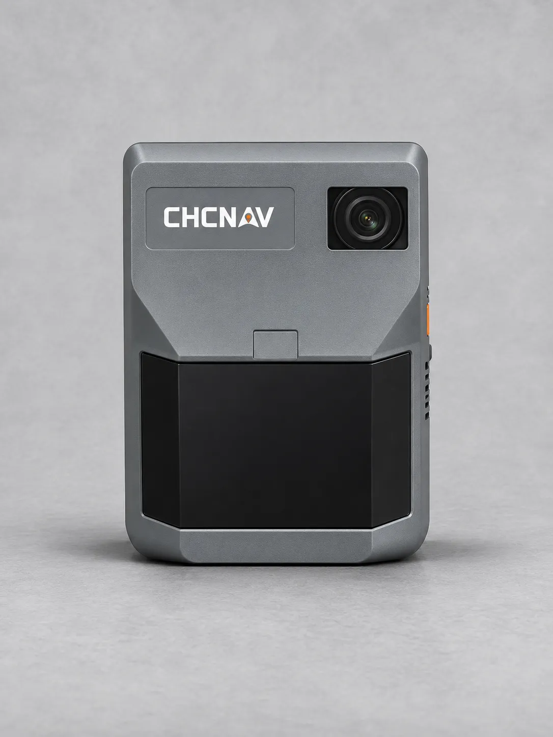
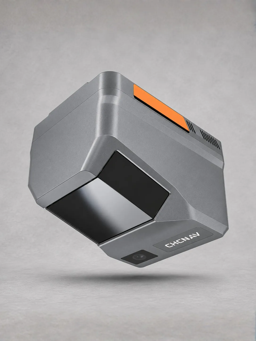
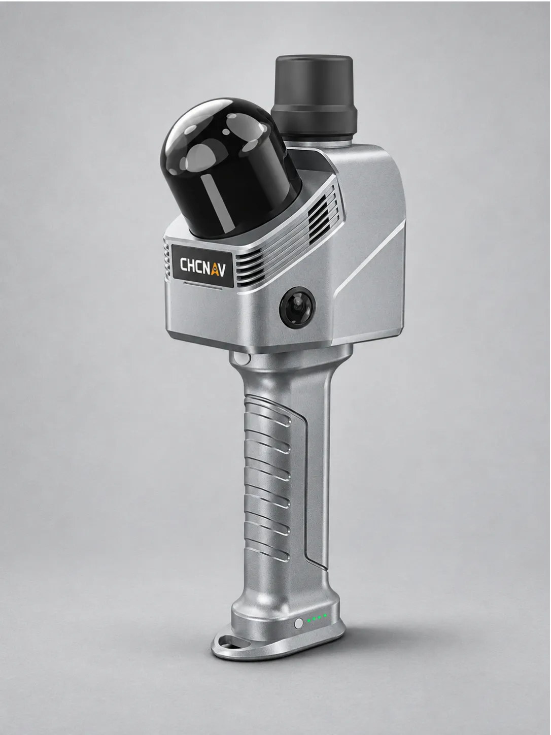
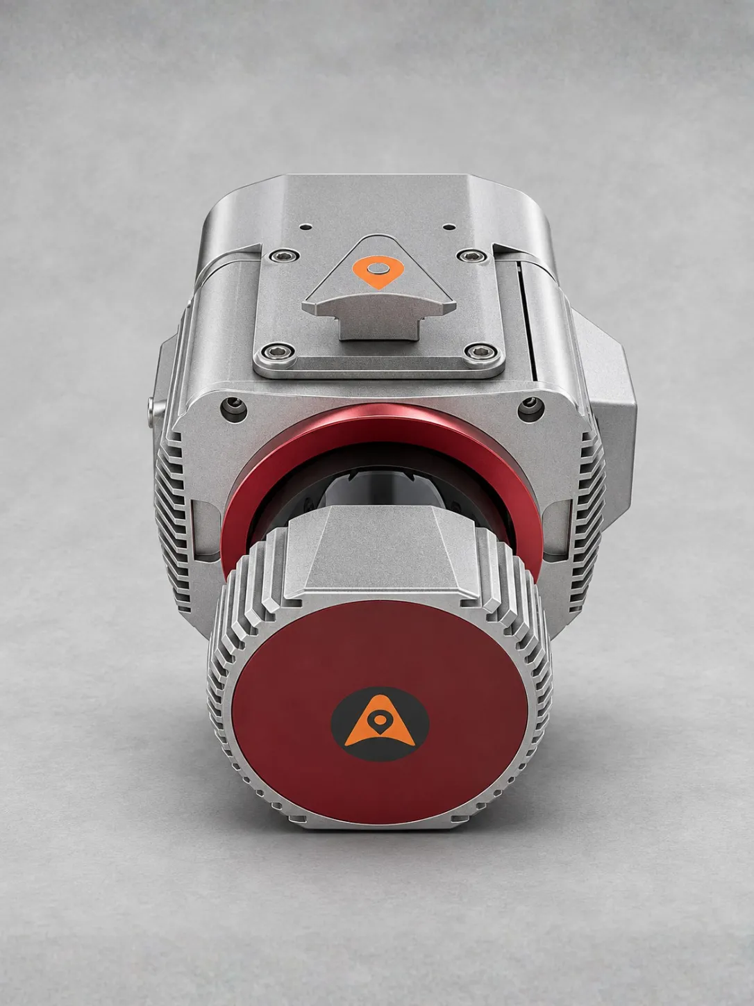
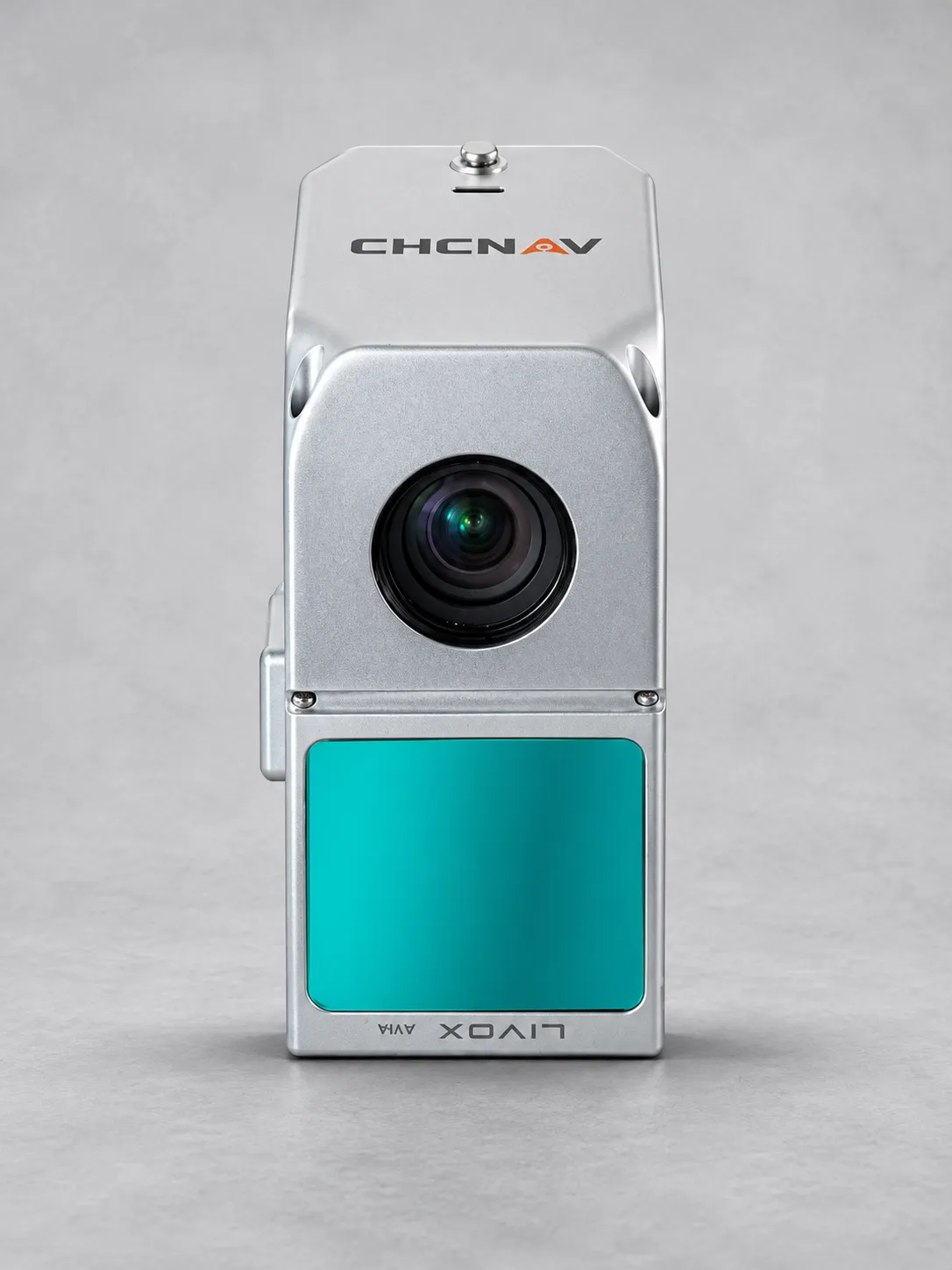
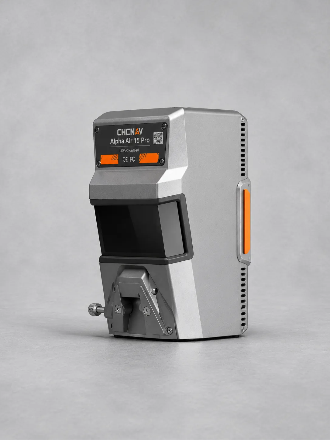
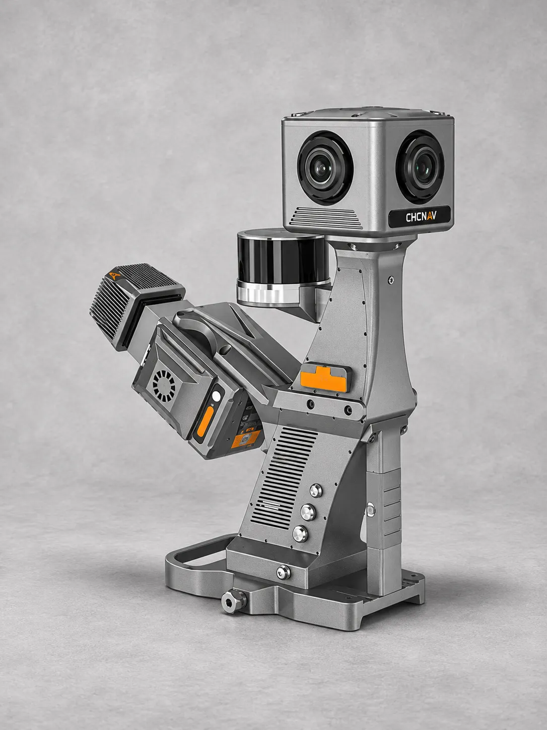
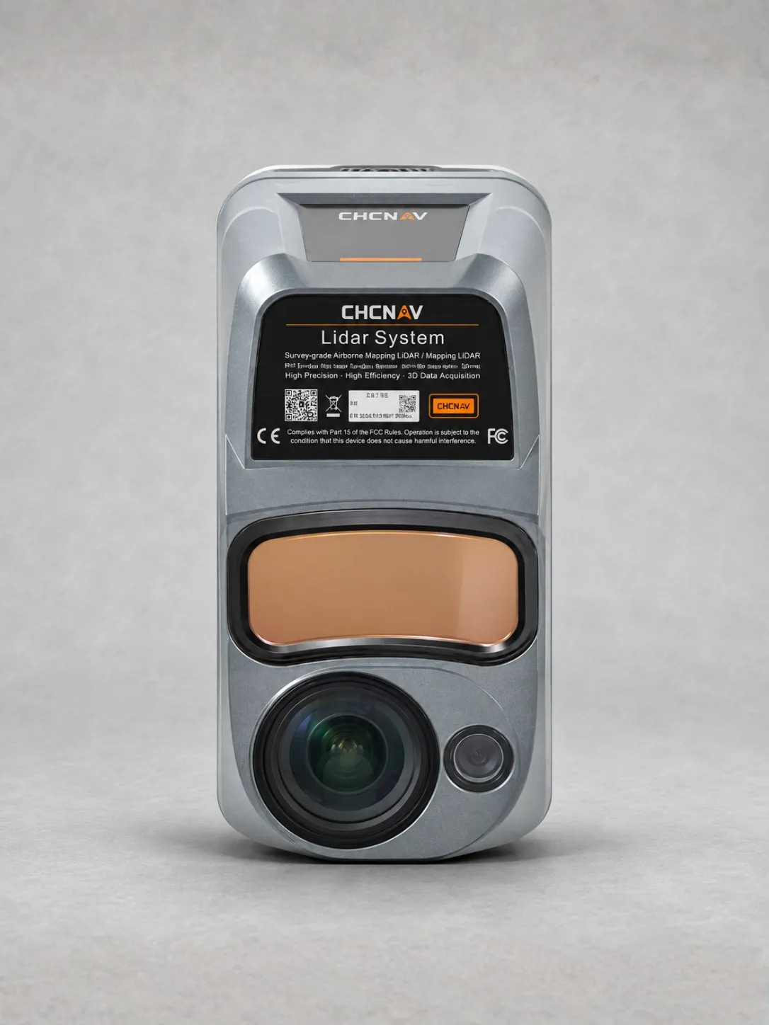
The CHCNAV AlphaAir 6 (AA6) is a lightweight airborne LiDAR system for land surveying, forestry mapping, highway surveys and power line inspection in complex terrain.
Next-generation prism scanning provides ranging up to 2,100 metres under specified conditions, with typical operating altitudes of 100–600 metres above ground.
Fifth-generation waveform processing supports dense, detailed point clouds, delivering up to 1,000,000 points per second at 120 metres AGL and up to 16 returns.
An integrated 4/3-inch CMOS camera offers 100 MP imaging with a switchable 25 MP mode, supporting high-resolution aerial imagery alongside LiDAR data.
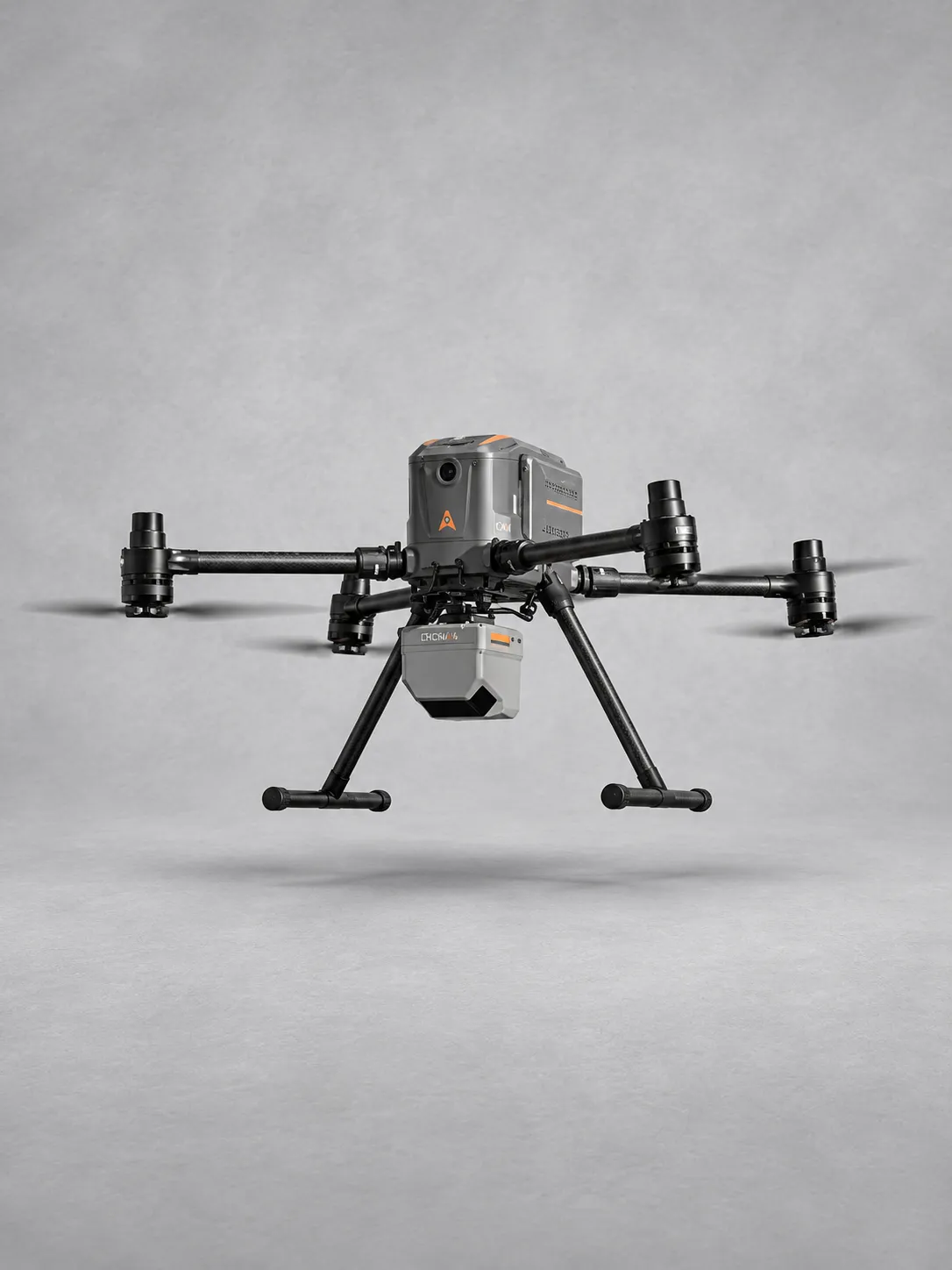
Weighing just 1.35 kg, the AA6 enables up to 50 minutes of flight time and up to 15 km² coverage per mission on the CHCNAV X500 platform.
Full-constellation GNSS, a high-grade 500 Hz IMU and 512 GB storage support reliable data acquisition. Open interfaces enable integration with multirotor UAVs, fixed-wing UAVs and manned aircraft.