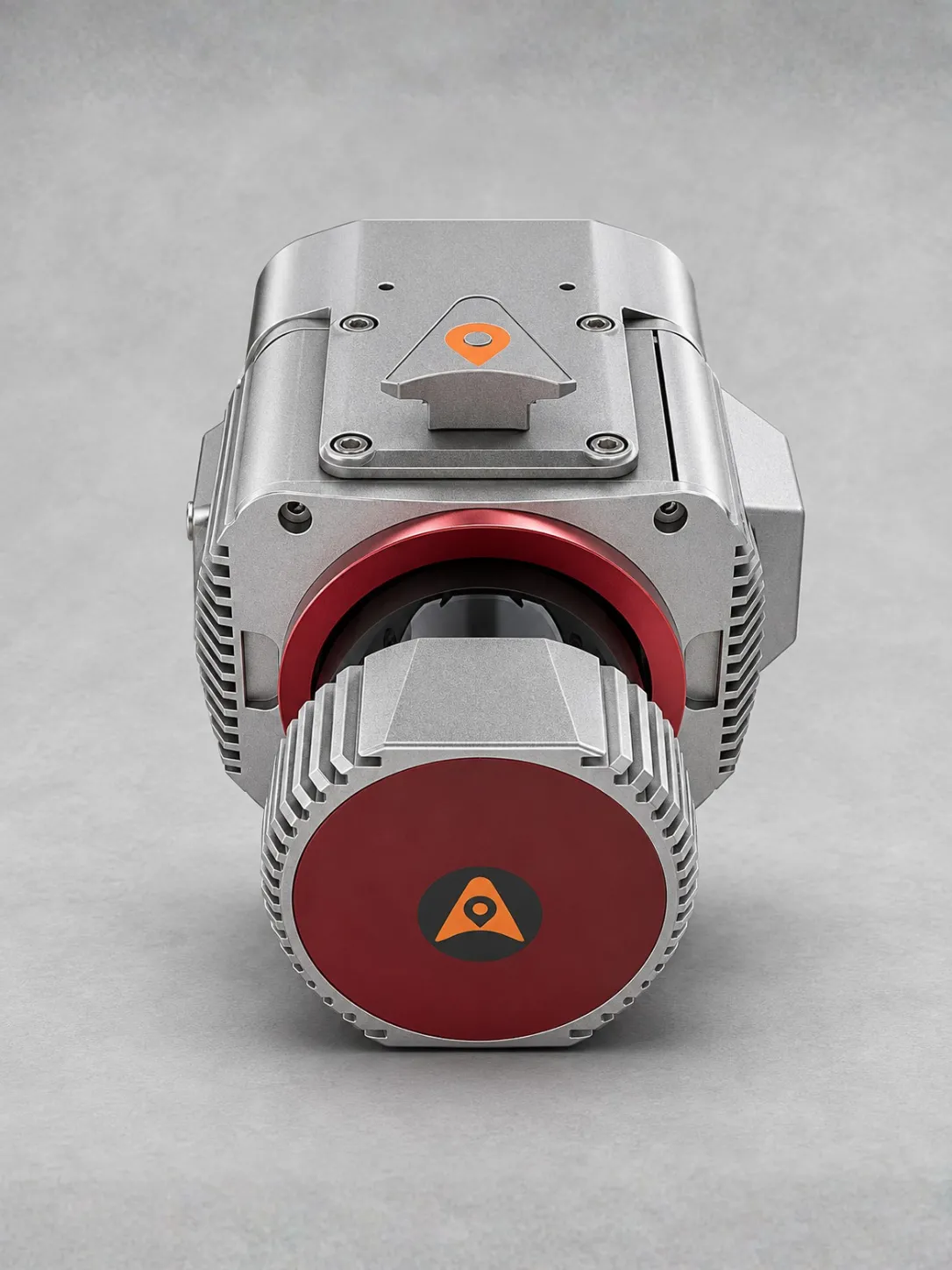
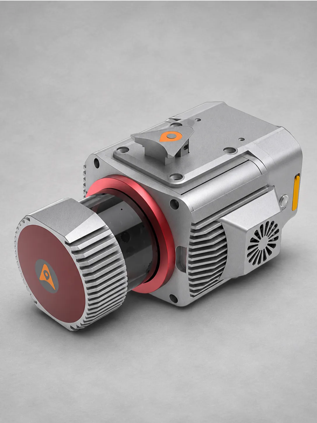
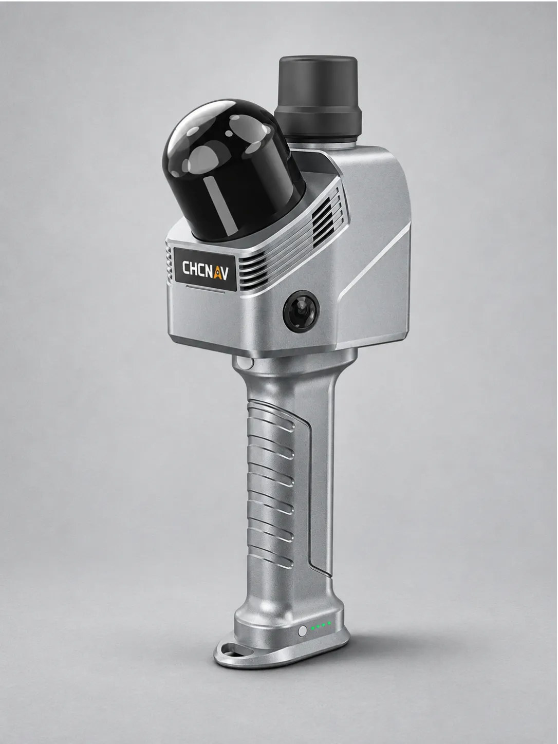
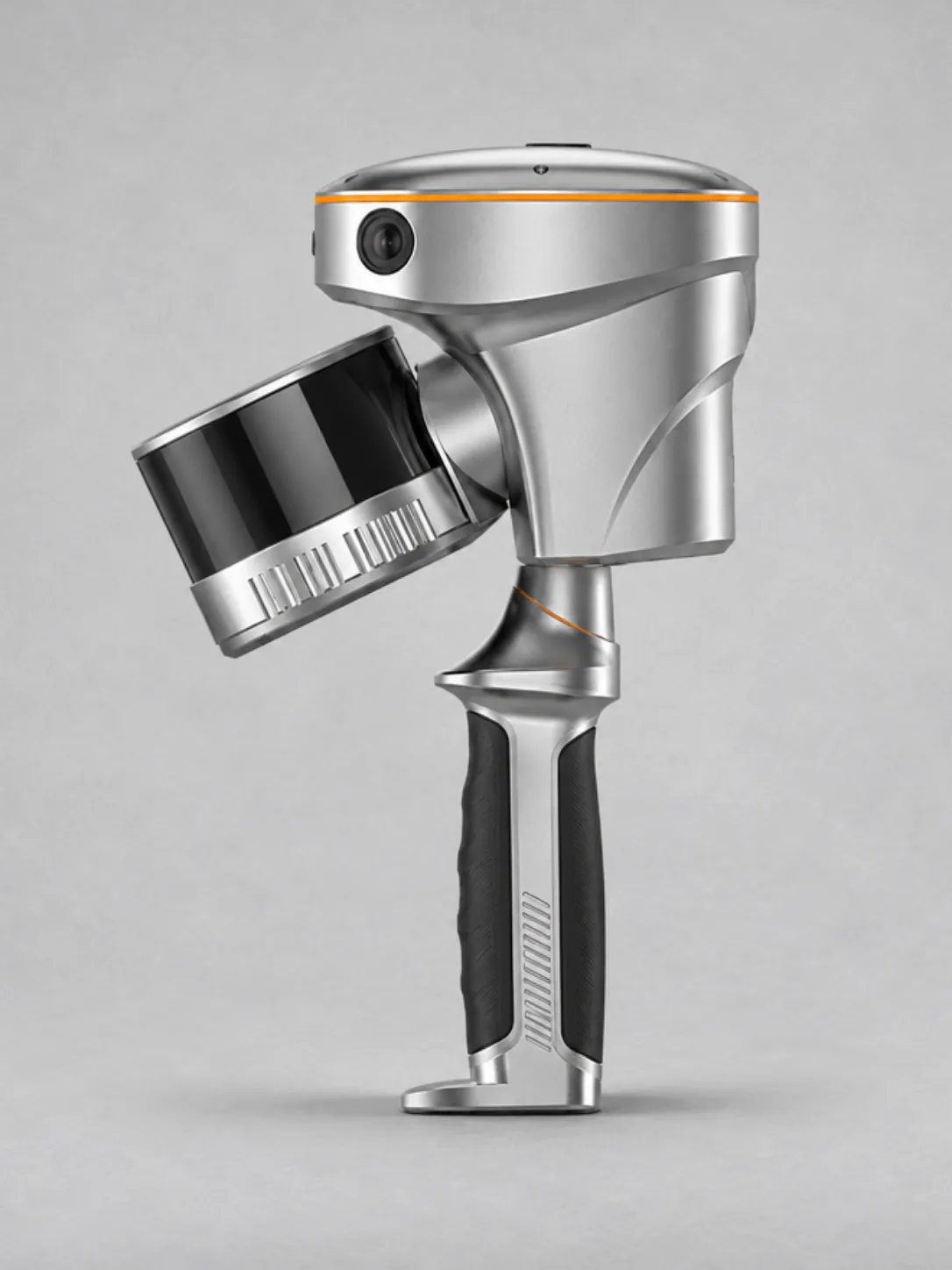
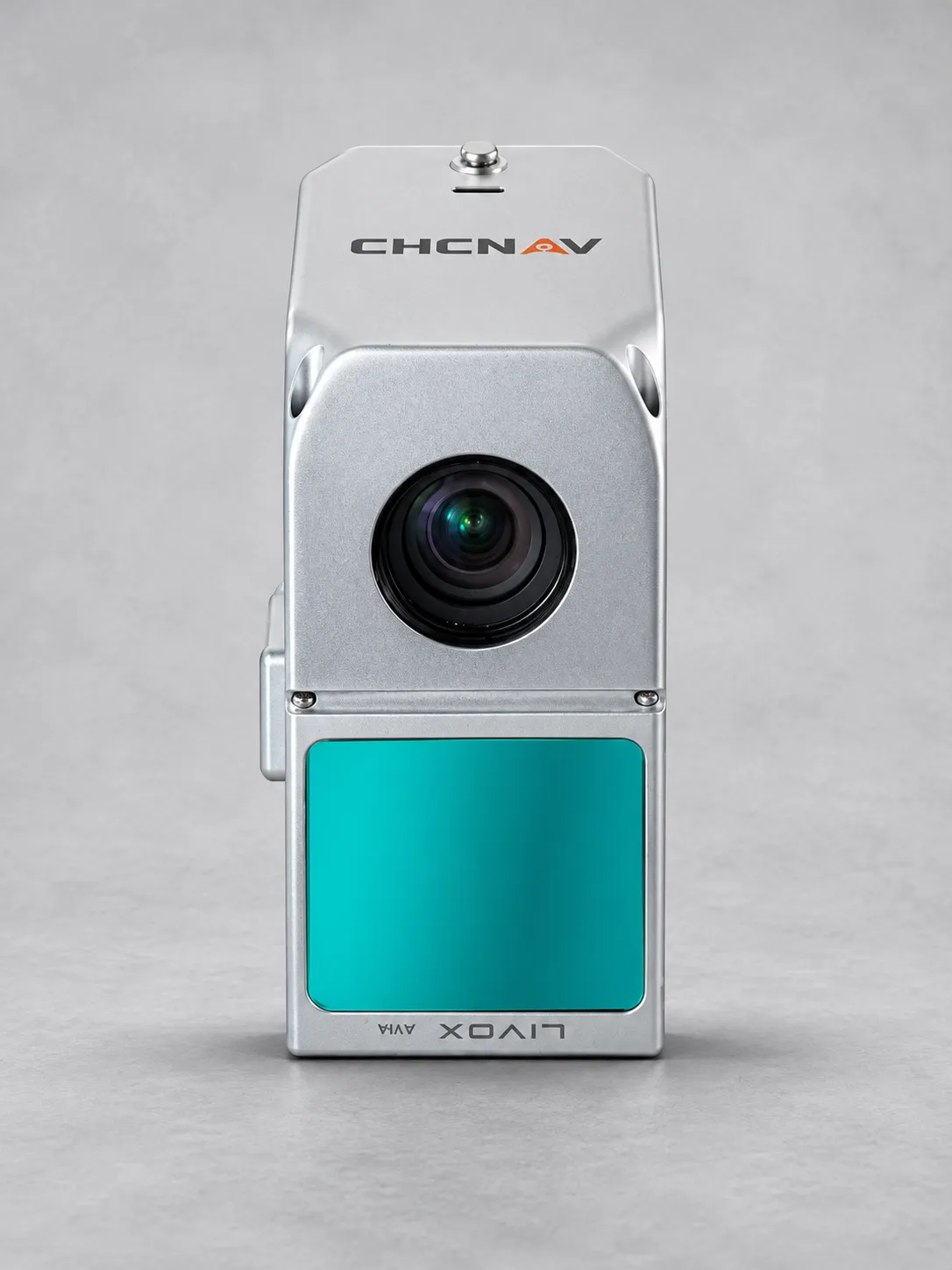
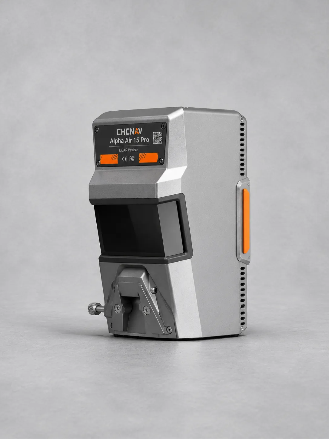
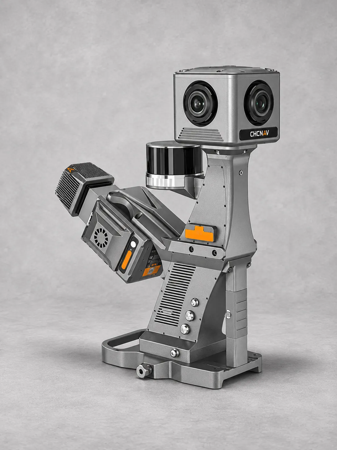
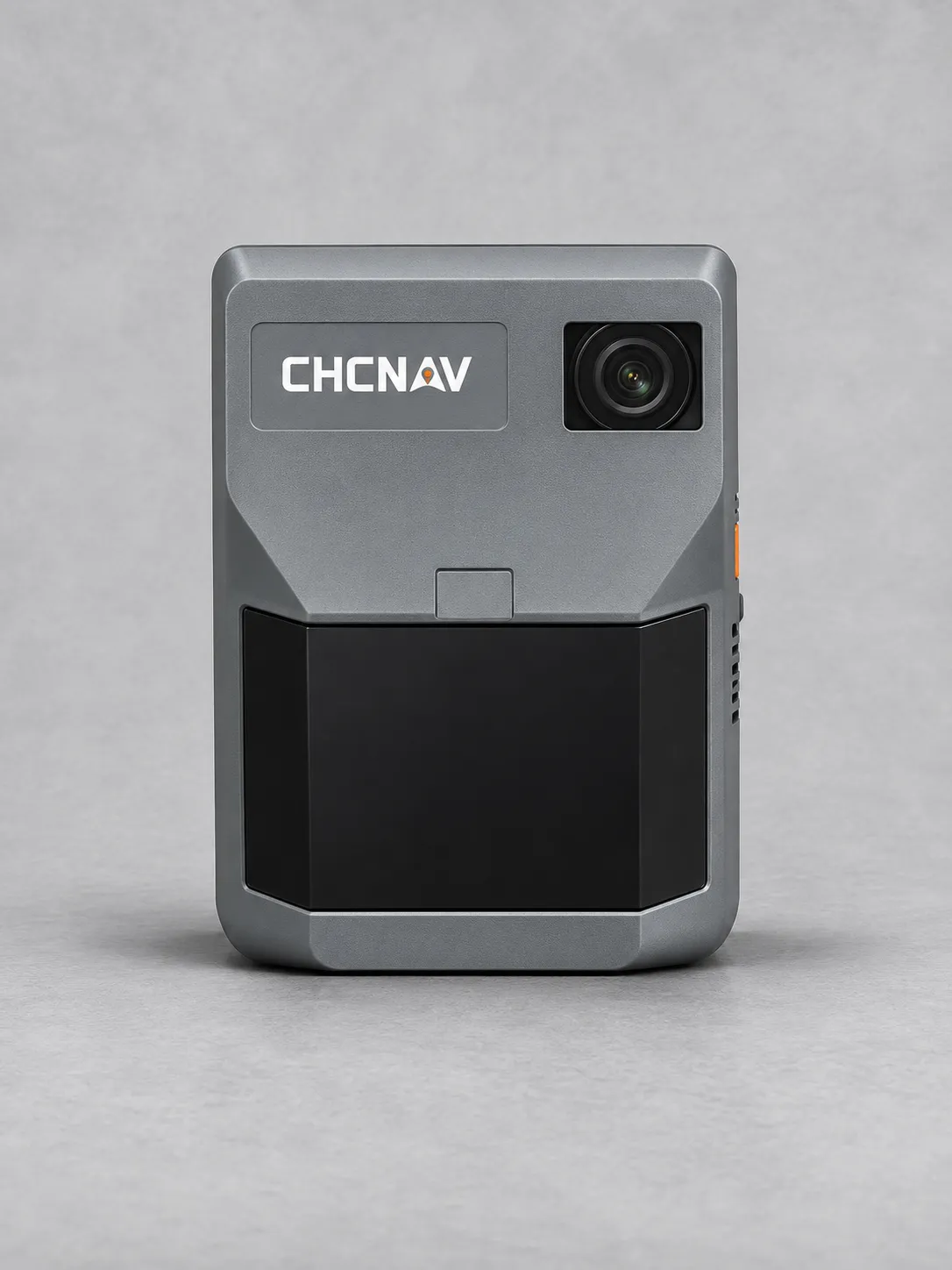
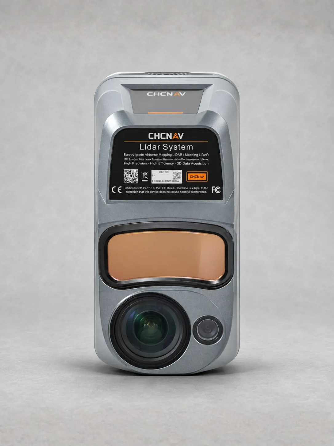
CHCNAV AU1300+
The CHCNAV AlphaUni 1300 is a long-range, multi-platform LiDAR system for airborne and ground surveying, smart city planning, disaster response mapping and coastal monitoring.
Its high-precision RIEGL laser scanner uses Waveform LiDAR technology and offers a maximum range of 1,845 metres for extensive survey coverage.
A scanning rate of up to 1.5 million pulses per second and a 360° field of view support efficient, detailed spatial data collection.
Integrated GNSS positioning and a 600 Hz IMU provide accurate positioning and orientation, with stated horizontal and vertical precision below 5 cm under specified conditions.
An optional CHCNAV AS-C5 camera supports high-resolution imaging, with 21 mm and 35 mm focal length options for different survey requirements.
Flexible mounting options enable deployment on UAVs, vehicles, boats and backpacks, allowing one system to support a wide range of mapping environments.