Surveying & Engineering Equipment: GPS & GNSS

• Total Stations • 3D Laser Scanners • Underground Detectors • Auto Levels

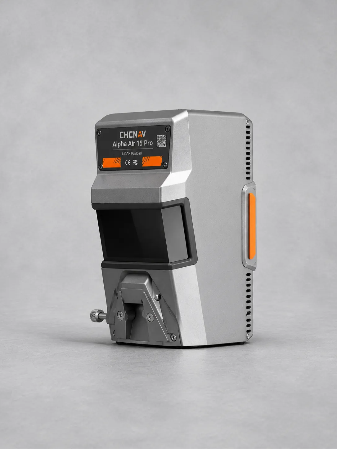
CHCNAV AlphaAir 450

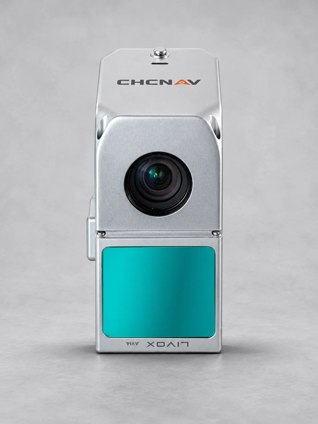
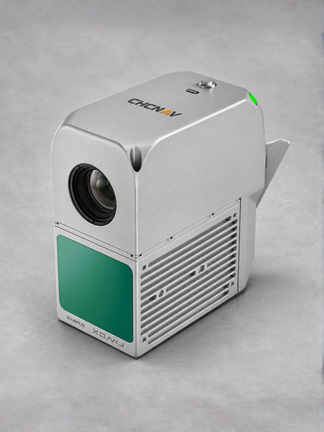
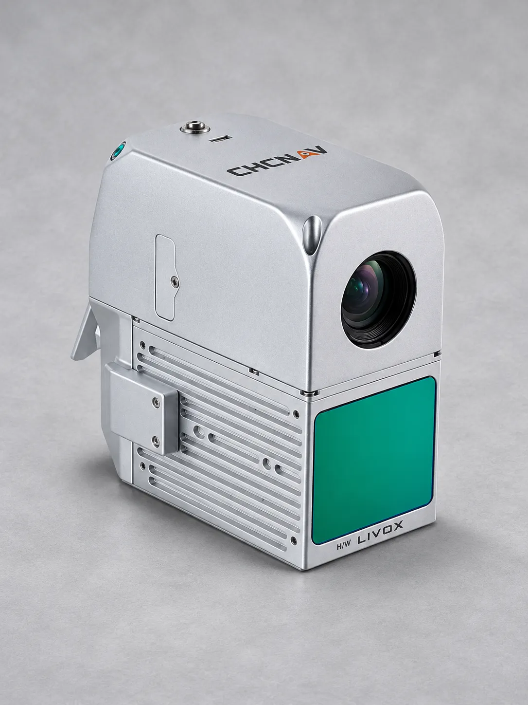
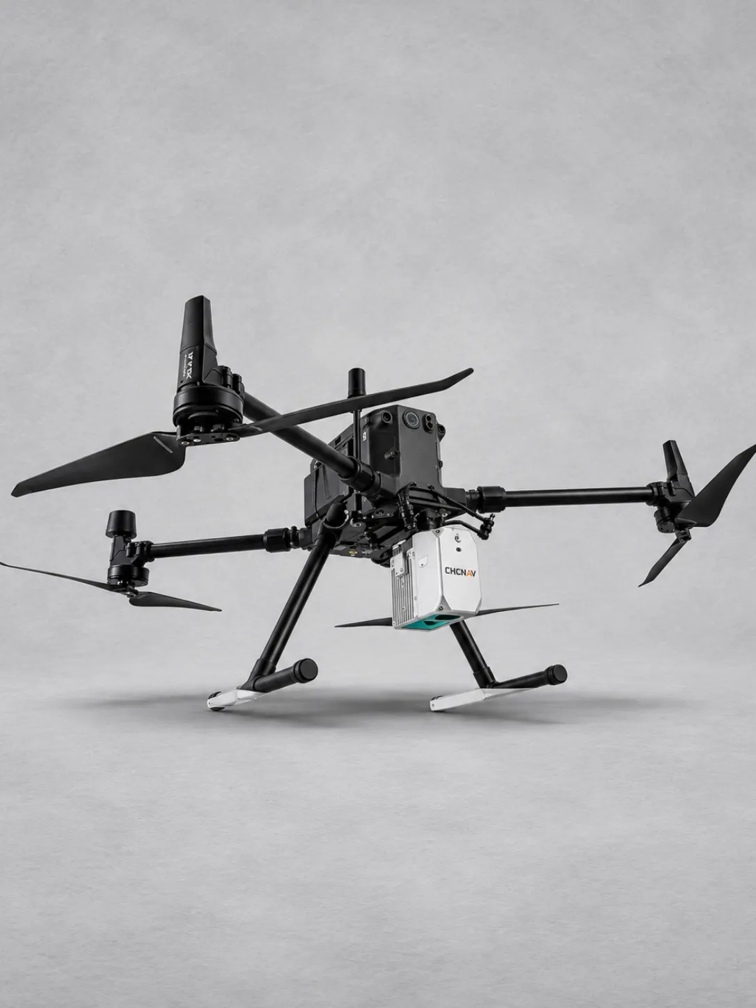
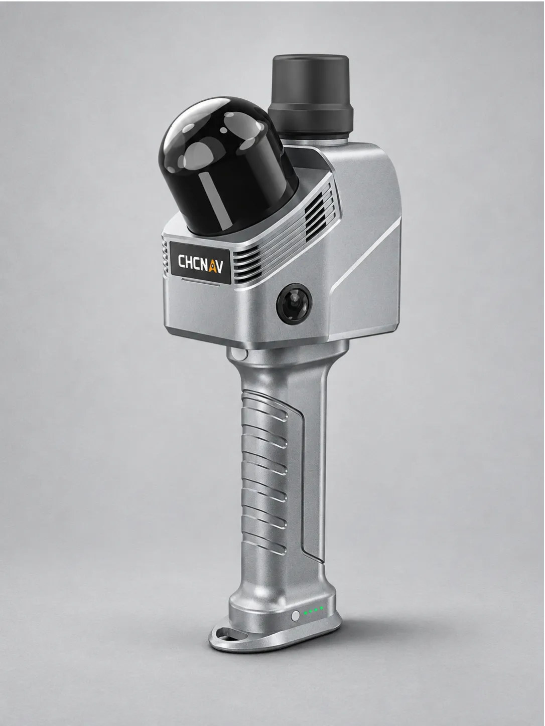
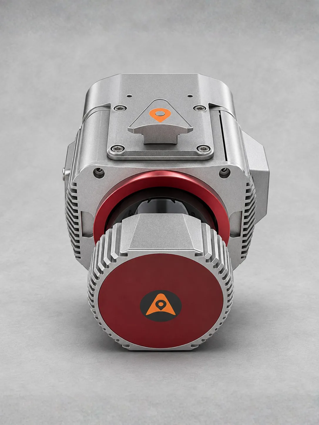
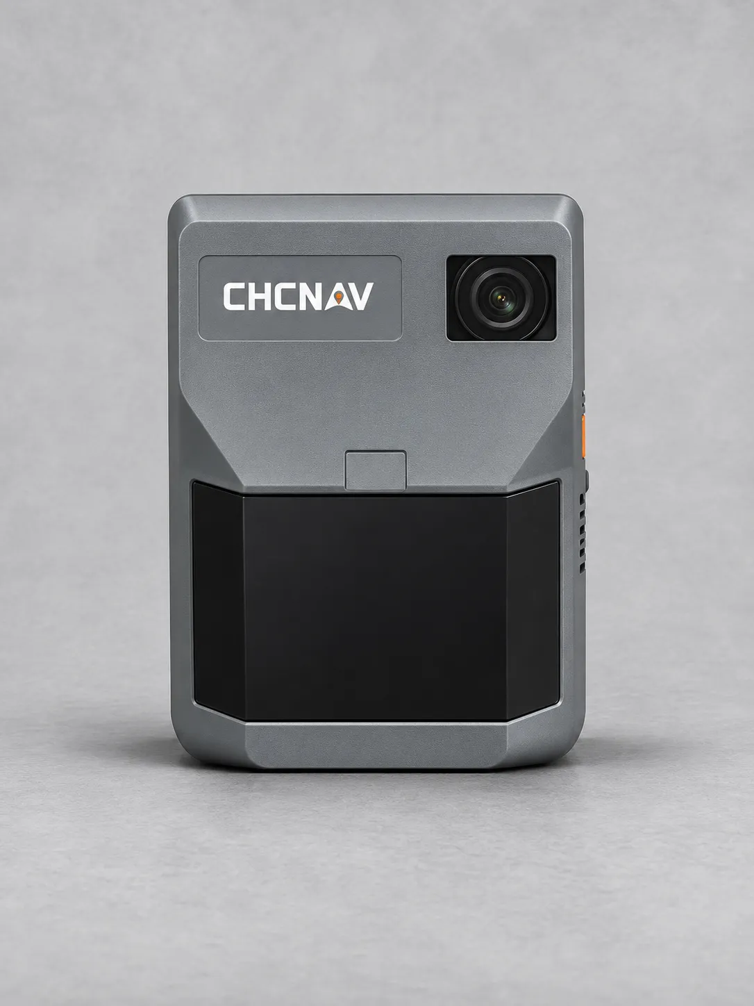
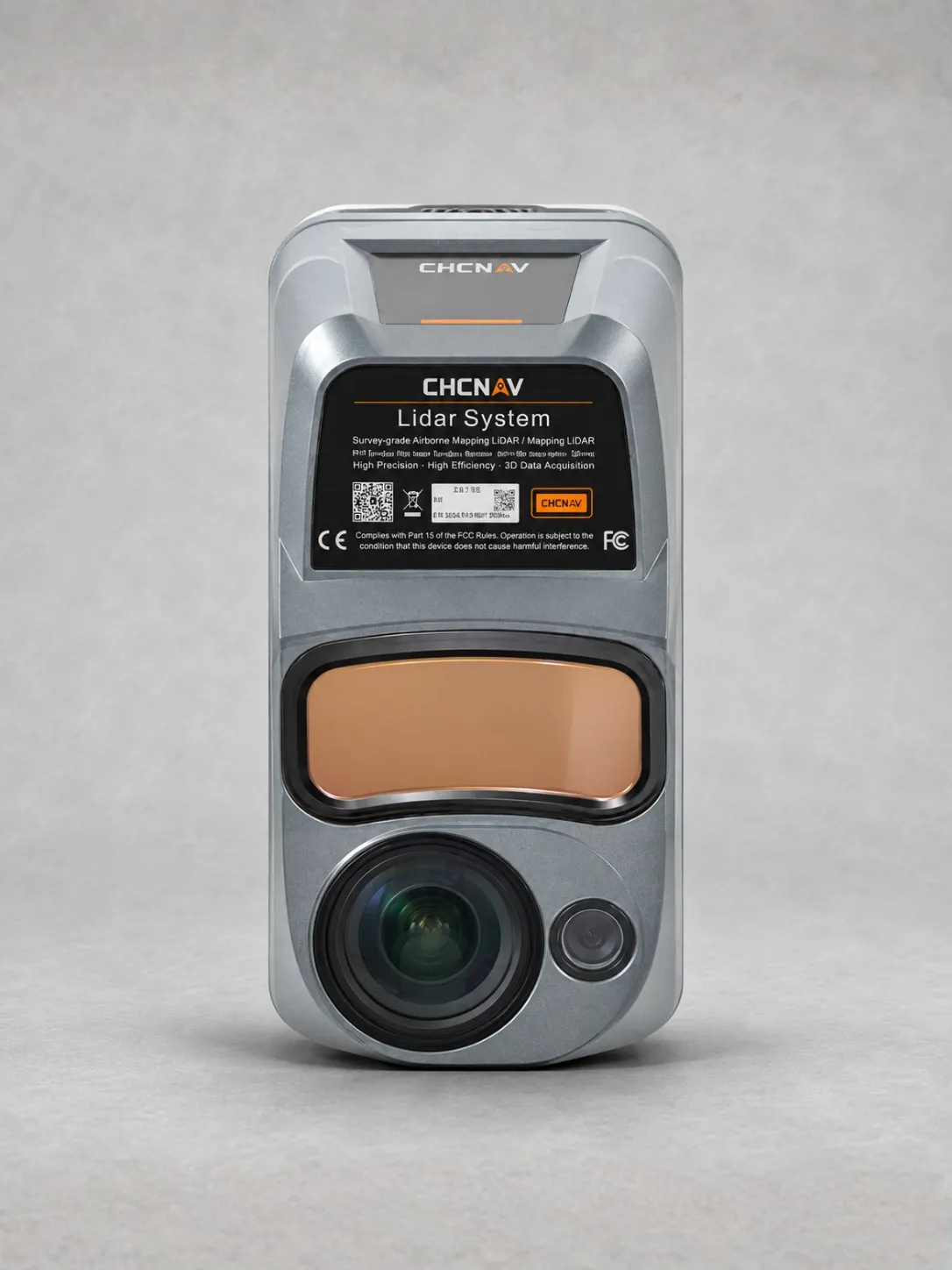
The CHCNAV AlphaAir 450 is an easy-to-use airborne LiDAR and RGB system for topographic mapping, mining surveys, watershed mapping and infrastructure inspection.

Its integrated LIVOX AVIA laser scanner offers a maximum range of 450 metres, a 70.4° field of view and up to three returns for detailed spatial data capture.

A professional 26 MP industrial camera captures high-resolution imagery alongside LiDAR data, supporting accurate mapping and geospatial reality capture.

Full-constellation GNSS and a 500 Hz IMU provide precise positioning and orientation, with stated accuracy of 10 cm horizontally and 5 cm vertically under specified conditions.

Weighing just 0.95 kg, the compact AA450 supports convenient UAV installation. Its Skyport interface simplifies integration with compatible DJI and other UAV platforms.

Built-in 256 GB storage supports field data collection. IP64 protection and operating temperatures from −20°C to +50°C provide durability for demanding aerial survey tasks.


Download Datasheet


Need Help?

600 N Michigan Ave, Chicago, IL 60611, USA

Open in Maps hi.amere@gmail.com 315-666-6688

Compare products

Your Compare is curently empty

Compare
Clear All
Image
Image
Image
Image
Image
Image
Image
Quick View

Clothing

Lyocell wrap top

(134 reviews)
18 sold in last 32 hours

$59.99

$98.99

-25%

The garments labelled as Committed are products that have been produced using sustainable fibres or processes, reducing their environmental impact.

28 people are viewing this right now