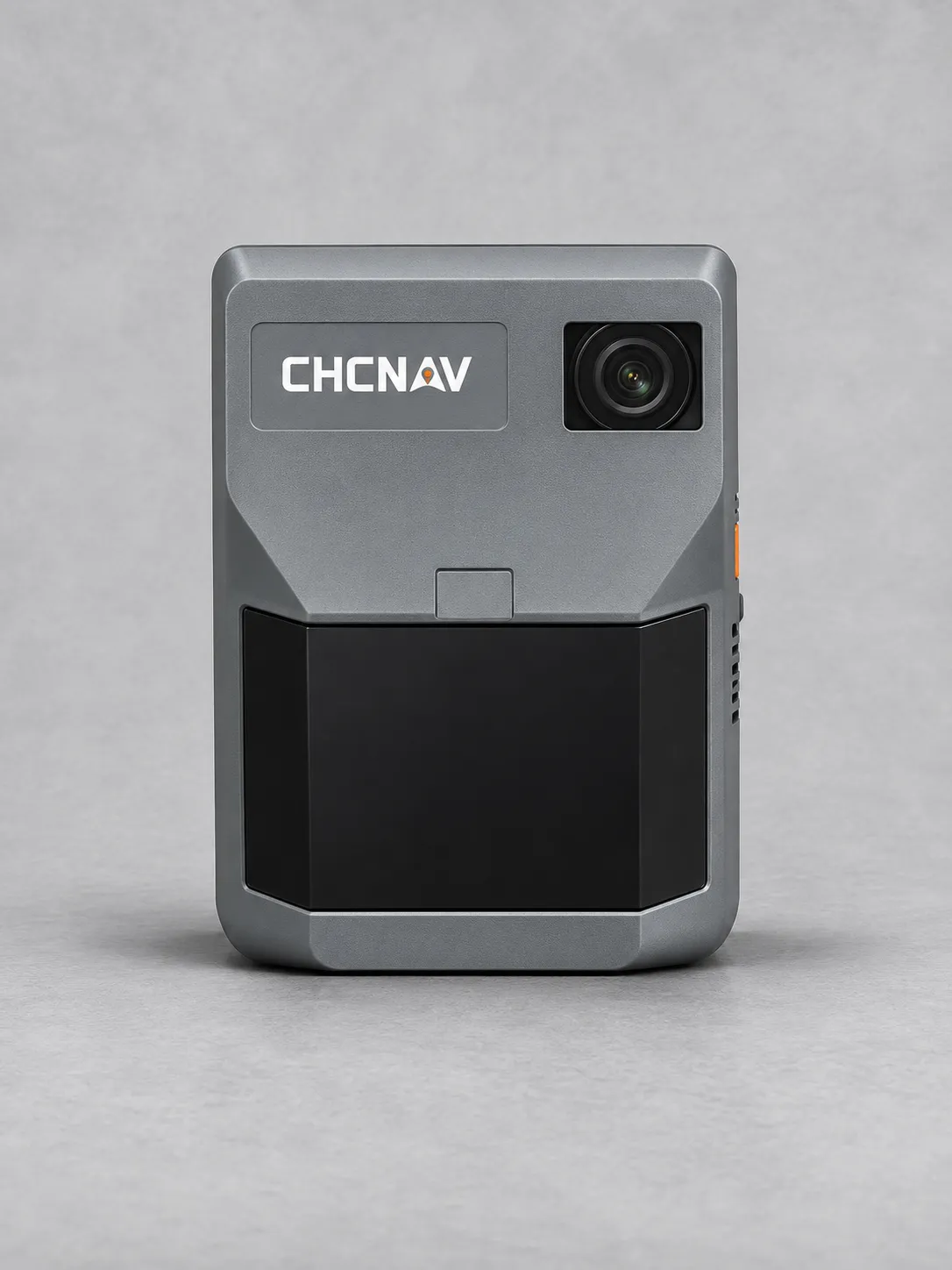
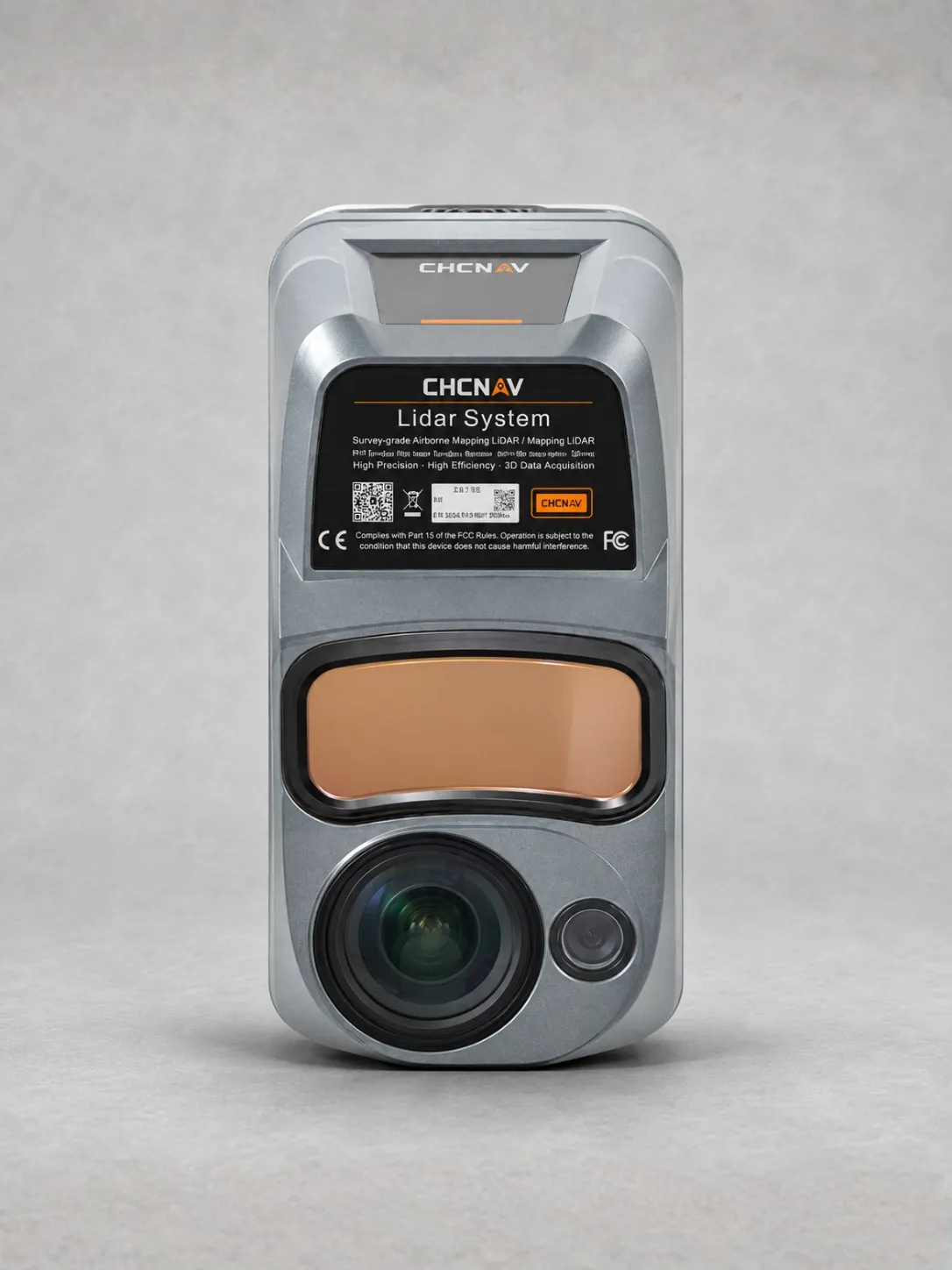
ALPHA AIR 15 PRO LiDAR PAYLOAD
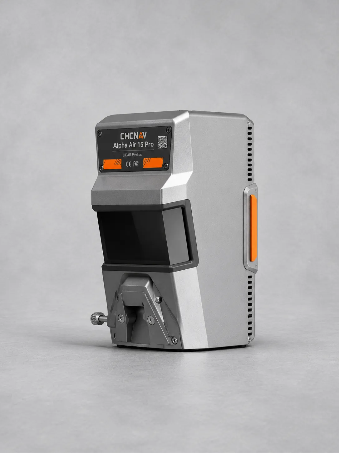
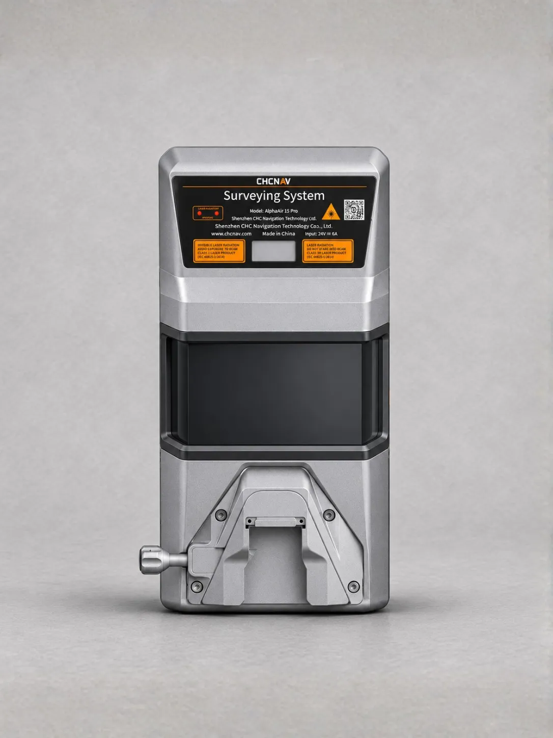
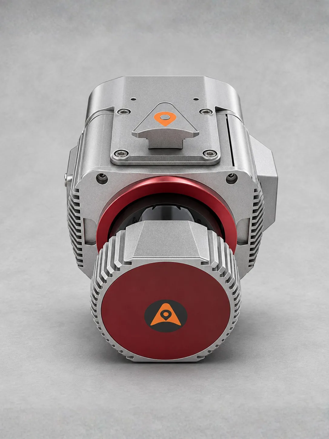
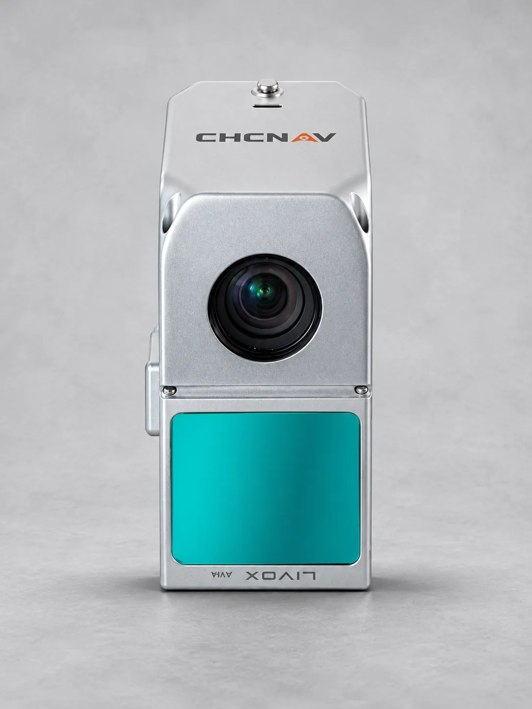
The CHCNAV AlphaAir 15 Pro is a premium airborne LiDAR system for large-area terrain mapping, corridor surveys, city-scale 3D modelling and engineering applications.
Delivering up to 2.4 million points per second, it offers a maximum range of 3,200 metres under specified conditions and typical flight altitudes of 500–1,200 metres AGL.
Up to 16 returns and strong vegetation penetration support detailed ground data collection across forests, mountains and complex terrain.
Optional 100 MP nadir and 300 MP oblique imaging configurations support orthophoto generation, facade capture, textured meshes and detailed 3D reality models.
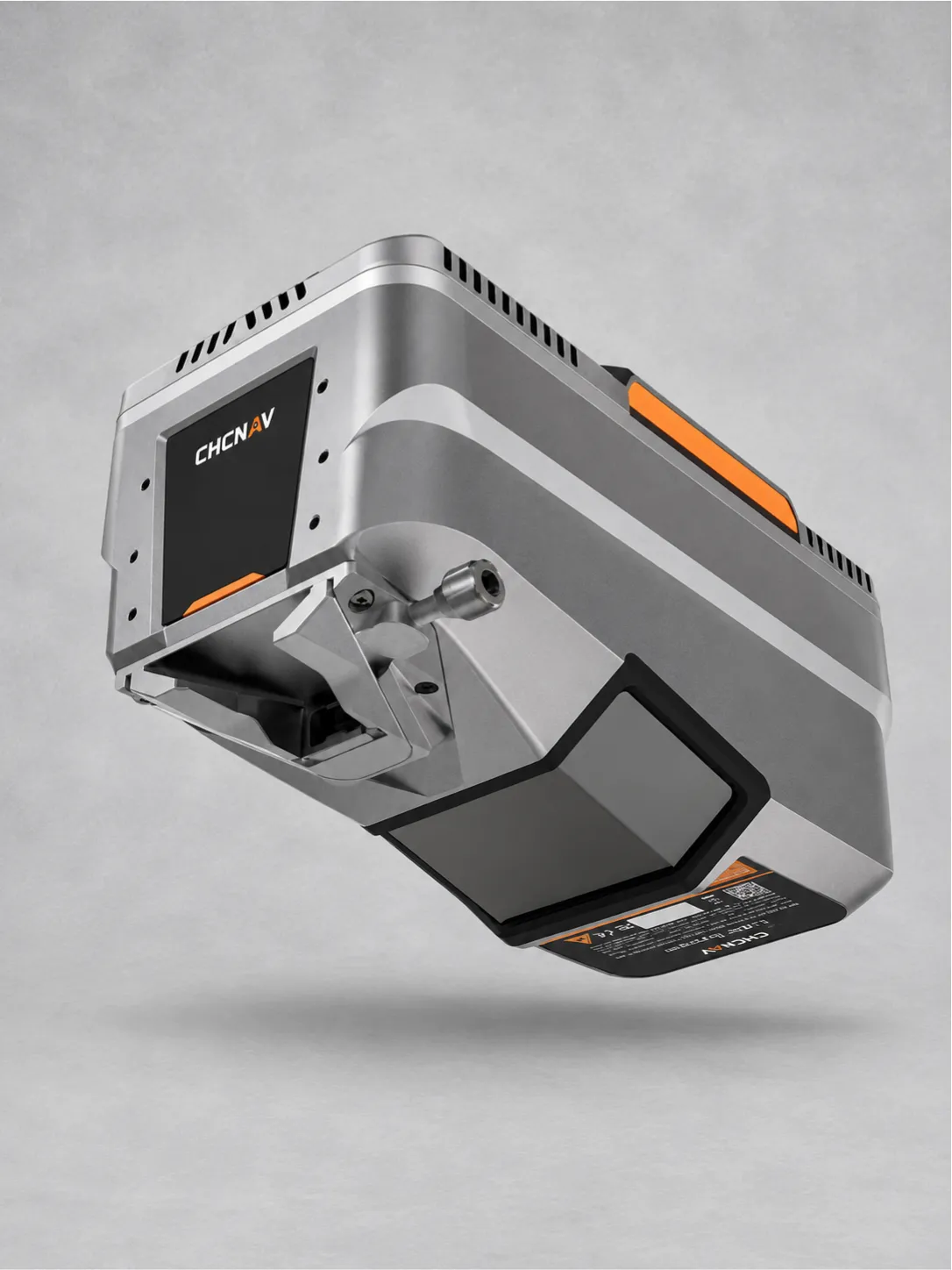
Weighing 2.6 kg, its compact design supports integration with large fixed-wing UAVs and manned aircraft. An optional streamlined airborne pod provides flexible installation.
Full-constellation GNSS, a 600 Hz IMU and 512 GB storage support accurate data acquisition. IP64 protection and operating temperatures from −20°C to +50°C suit demanding aerial missions.