Surveying & Engineering Equipment: GPS & GNSS

• Total Stations • 3D Laser Scanners • Underground Detectors • Auto Levels

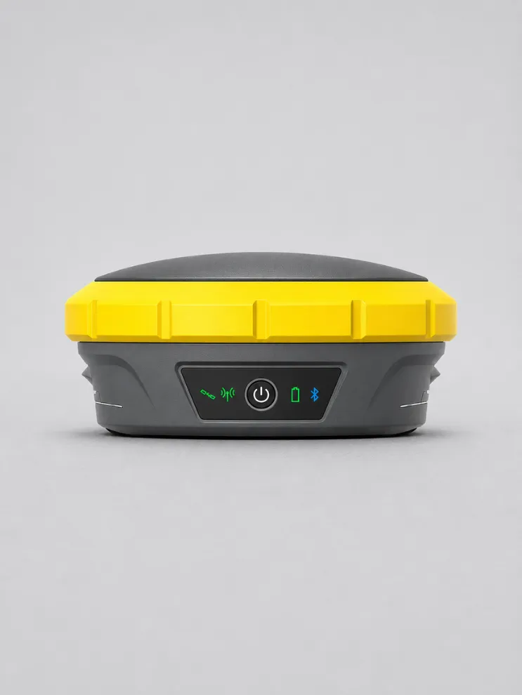
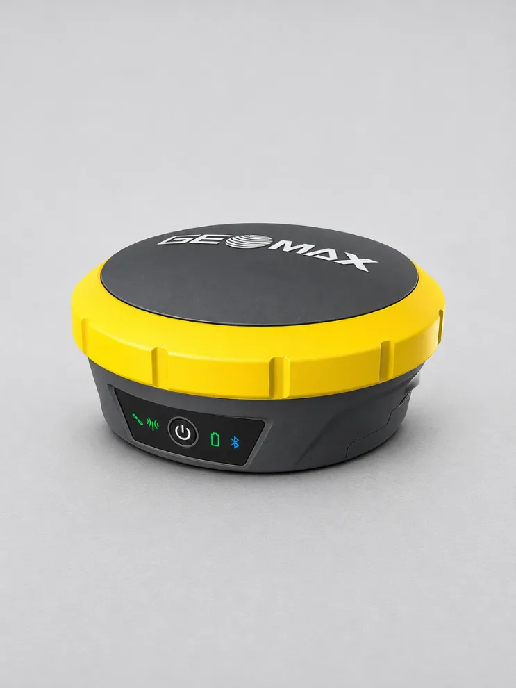
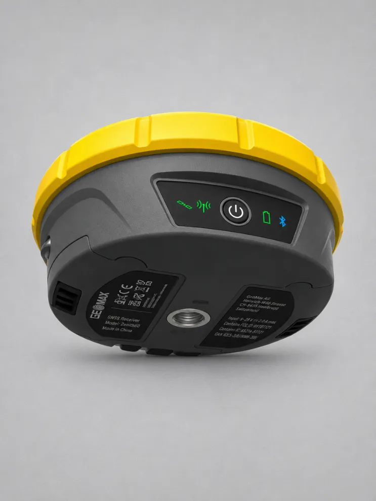
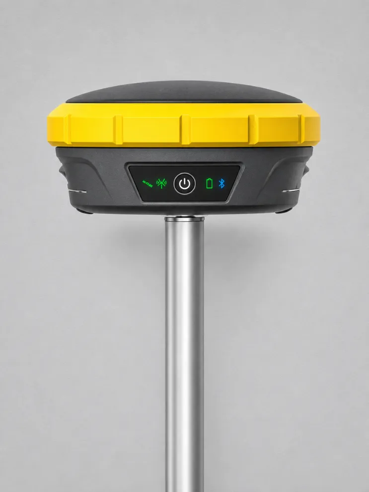
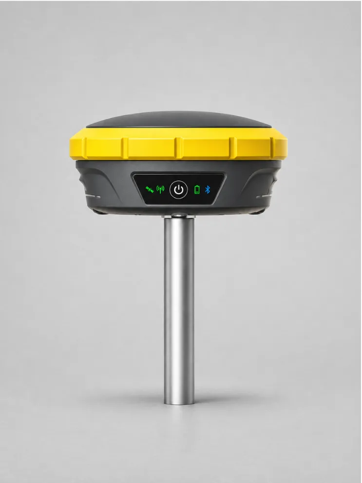
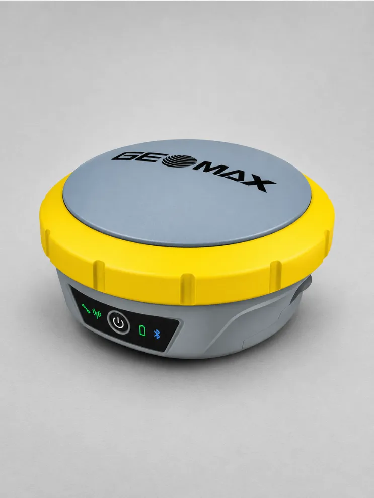
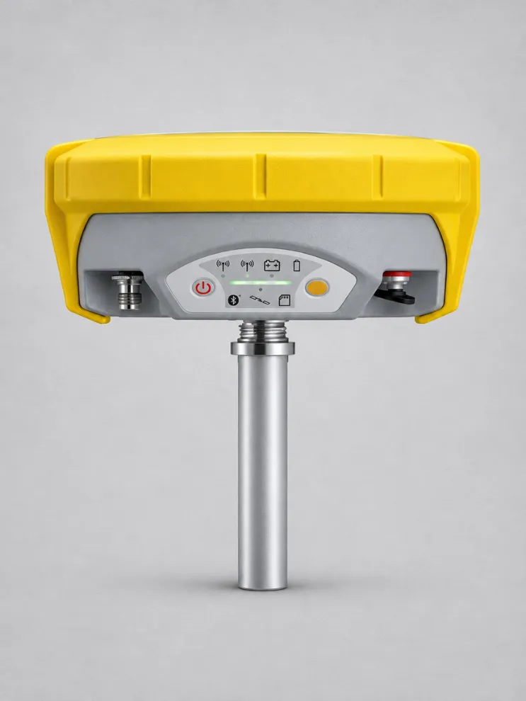
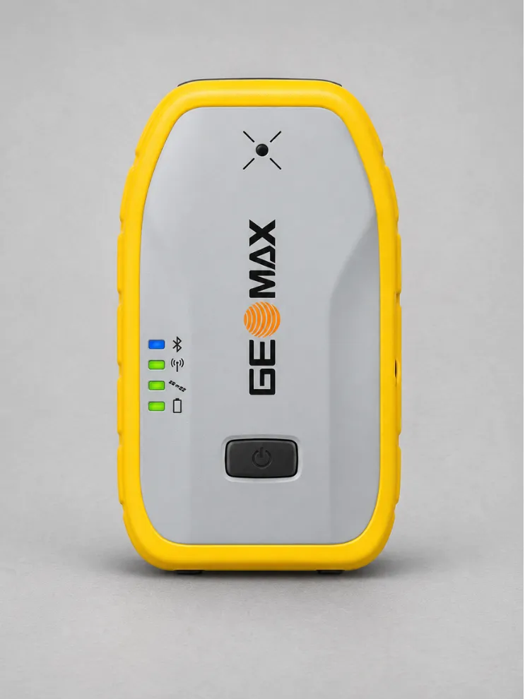
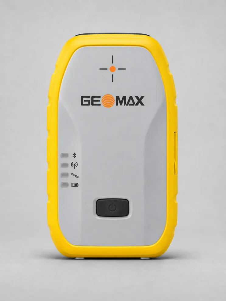
Zenith60 Pro GNSS

The GeoMax Zenith60 Pro is a rugged GNSS smart antenna and RTK rover for surveying and construction. It supports accurate field measurements under dense tree canopy, between tall buildings and on active construction sites.

Integrated tilt compensation lets surveyors measure points with the pole at an angle, making it easier to capture locations where holding the pole upright is difficult.

X-PAD Ultimate field software supports both the Zenith60 Pro and GeoMax total stations, giving crews a familiar workflow when switching between instruments on site.

X-PAD Office Fusion brings GNSS data together with data from total stations, laser scanners and drones for processing and preparing project deliverables.

X-PAD 365 helps field and office teams share survey files, manage project data and stay informed through synchronised updates and notifications.

GeoMax provides real-time support and on-demand training resources to help teams set up the receiver and use the X-PAD tools in their daily work.

Download Datasheet


Need Help?

600 N Michigan Ave, Chicago, IL 60611, USA

Open in Maps hi.amere@gmail.com 315-666-6688

Compare products

Your Compare is curently empty

Compare
Clear All
Image
Image
Image
Image
Image
Image
Image
Quick View

Clothing

Lyocell wrap top

(134 reviews)
18 sold in last 32 hours

$59.99

$98.99

-25%

The garments labelled as Committed are products that have been produced using sustainable fibres or processes, reducing their environmental impact.

28 people are viewing this right now